
Digital Land Survey in Maheshwaram
Government Licensed Digital Land Surveyors in Maheshwaram, Rangareddy
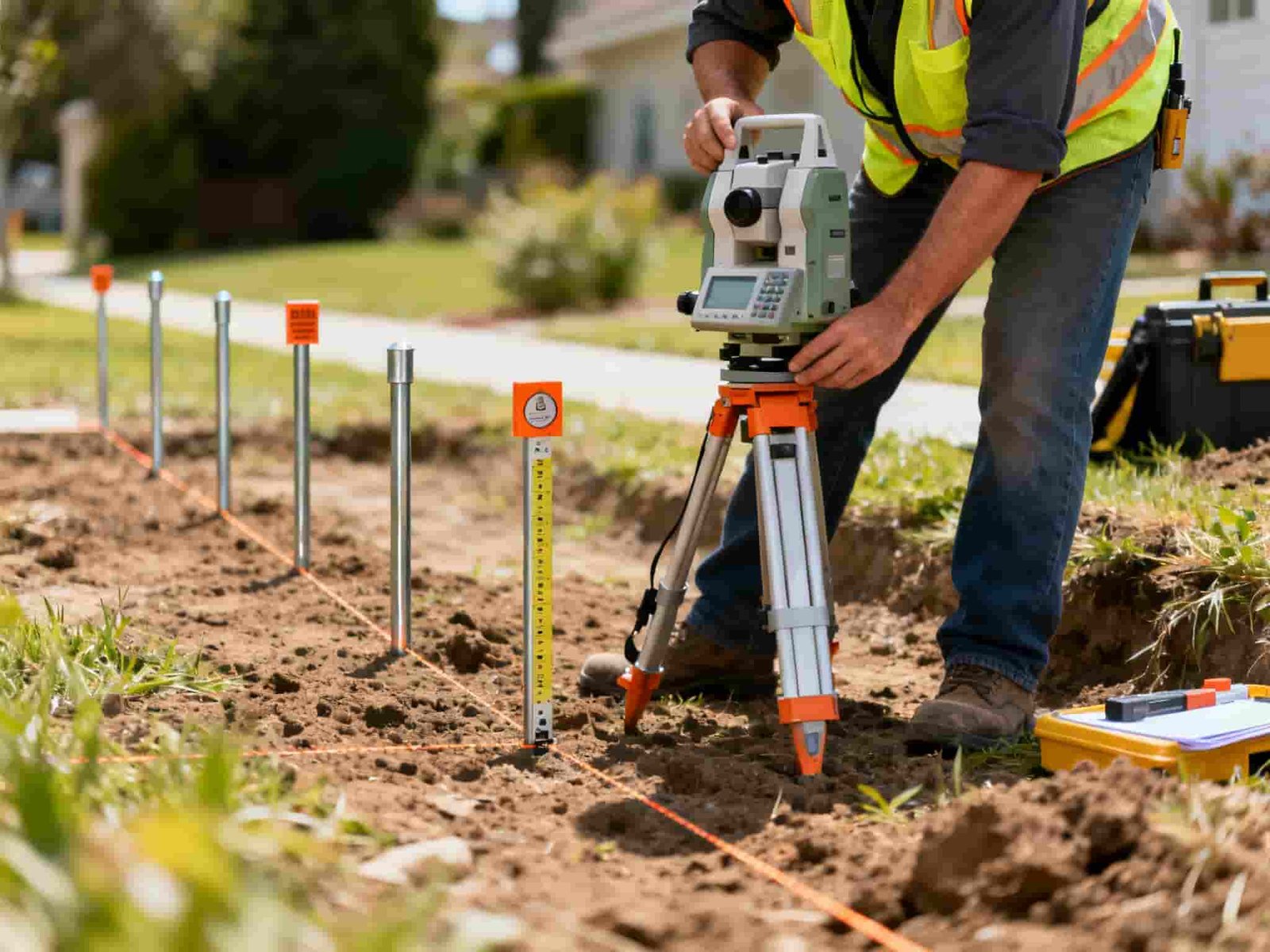
Laxmi Associates (also operating as Laxmi Digital Licensed Surveyors in Maheshwaram) is a premier government-licensed digital land surveying and civil engineering consultancy led by Managing Director Rajesh Nedunoori (Telangana Government Licensed Surveyor & GHMC Licensed Civil Engineer). With local presence in Maheshwaram Mandal and Shamshabad, we deliver millimeter-accurate land measurements using multi-frequency GNSS DGPS receivers, Leica TS07 Total Stations, and survey drones.
From agricultural farm lands and pharma-city corridor plots to residential ventures along Srisailam Highway, Tukkuguda, and Kandukur, we ensure accurate boundary demarcation and Tippon record verification before you invest or construct.
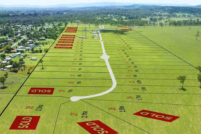
Our Digital Land Surveying Services in Maheshwaram
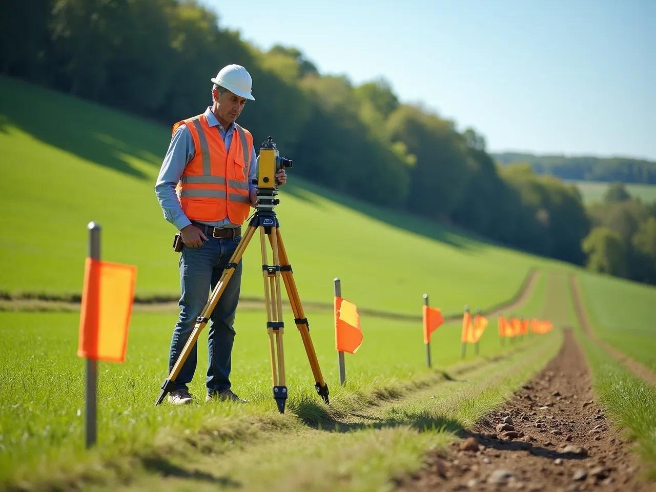
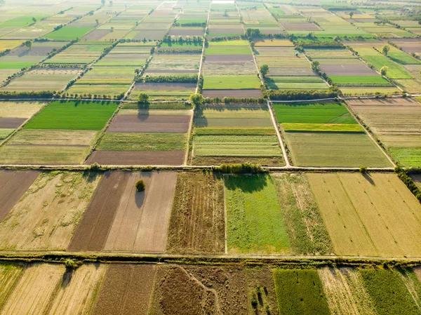
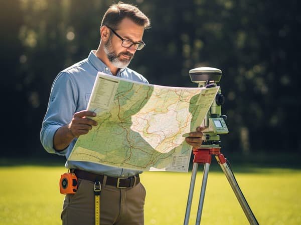
Why Choose Laxmi Associates in Maheshwaram?

Benefits of Digital Land Survey in Maheshwaram


Frequently Asked Questions – Land Survey in Maheshwaram
Laxmi Associates (Laxmi Digital Licensed Surveyors) is a top-rated government-licensed digital land surveying firm serving Maheshwaram Mandal, led by Telangana Government Licensed Surveyor and GHMC Licensed Engineer Rajesh Nedunoori, using Leica TS07 Total Stations, GNSS DGPS receivers, and survey drones.
We offer agricultural land boundary demarcation, DGPS and Total Station surveys, FMB and Tippon map verification, venture layout marking, land partition and sub-division, topographical contour surveys, and drone aerial mapping across Maheshwaram, Tukkuguda, and Kandukur.
Rapid real estate growth along Srisailam Highway and Maheshwaram makes pre-purchase digital verification essential. A DGPS and Tippon verification survey ensures actual ground measurements match revenue records and prevents boundary overlapping or disputes.
You can book a same-day site survey in Maheshwaram by calling Laxmi Associates at +91 80143 80111 or +91 81219 63611, or visiting our offices in Maheshwaram (Ameerpet Village) and Shamshabad (Kishanguda).
