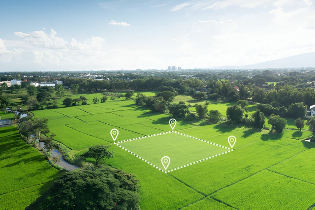
DGPS Land Survey
High-Precision GPS Surveying for Accurate Land Mapping
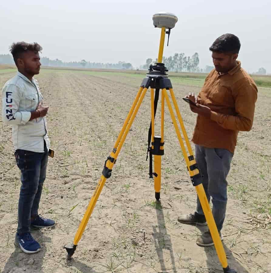
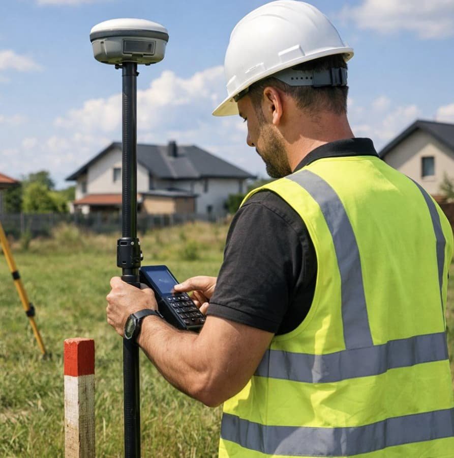
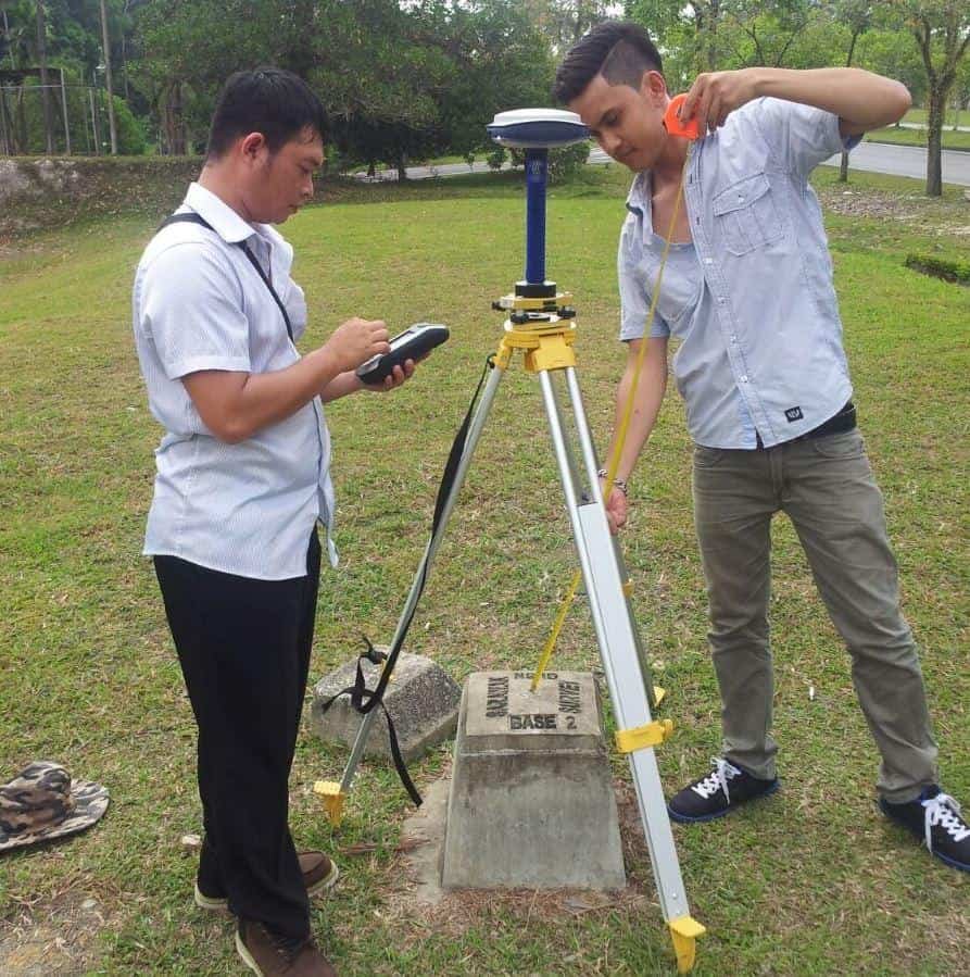
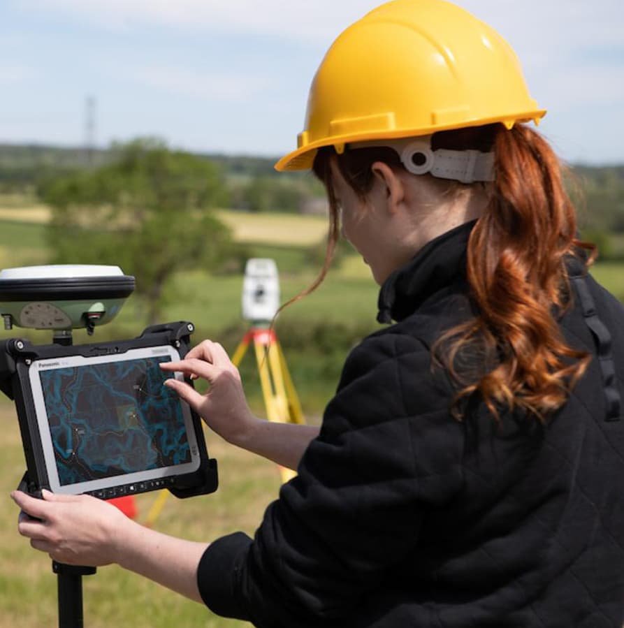
Laxmi Associates provides professional DGPS land surveying services for accurate land measurement, boundary demarcation, coordinate mapping, and infrastructure planning. Using advanced Differential GPS technology, we help deliver reliable survey data for residential, commercial, agricultural, and large-scale development projects.

Our DGPS Survey Services
Our Mission, Vision & Core Values

Benefits of DGPS Surveying


Frequently Asked Questions
DGPS surveying uses satellite positioning with correction data to improve location accuracy compared with standalone GPS.
Accuracy depends on the equipment, correction method, satellite conditions, and field procedures. Centimetre-level results may be achievable under suitable conditions.
Available land records, survey numbers, village maps, FMB or Tippan sketches, and site location details can help plan the survey.
Contact Laxmi Associates with your location, land extent, and survey requirements to discuss scheduling and pricing.