
FMB Sketch & Village Tippon Map Verification in Telangana
Protect Your Land Investment Before Registration or Fencing
In Telangana, buying agricultural land, open plots, or commercial acreage without verifying official revenue sketches is one of the biggest causes of property litigation. Many buyers rely solely on sale deeds or seller-shown stones, only to discover later that their physical possession overlaps with a neighbor’s survey number or government Nala/buffer zone.
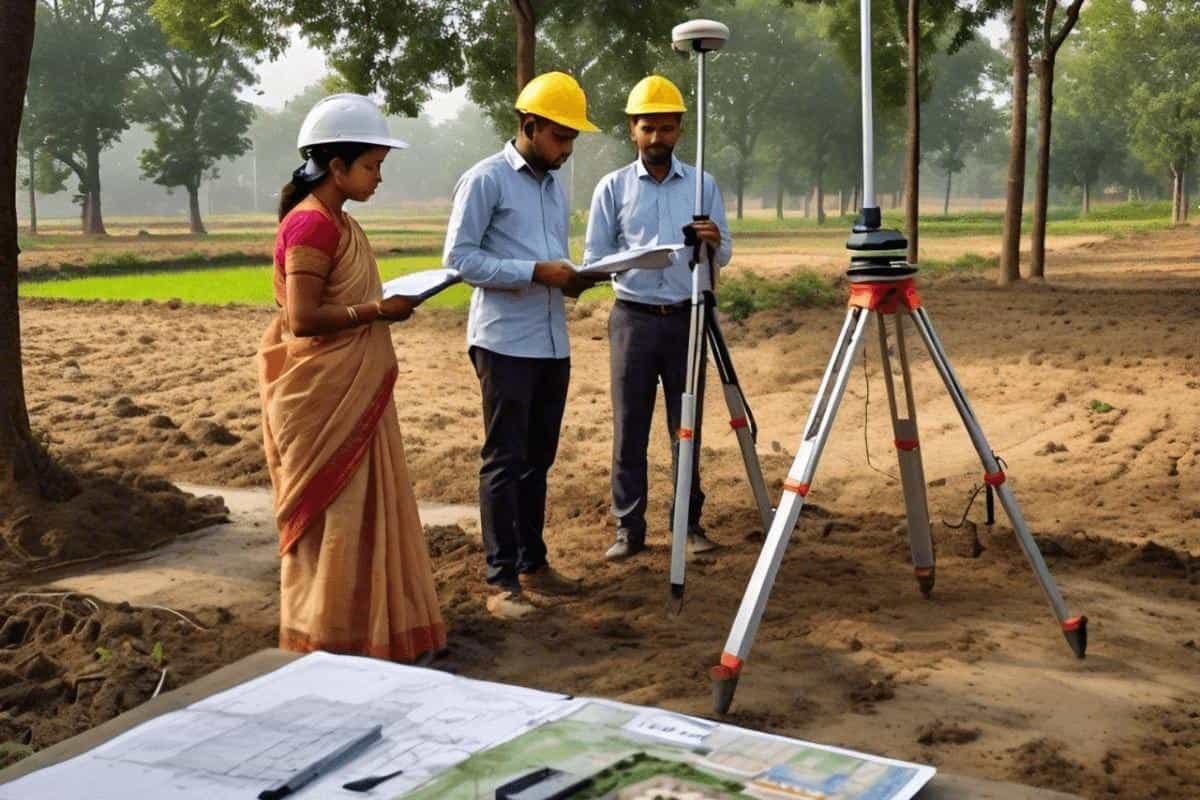
At Laxmi Associates, led by Er. Rajesh Nedunoori (GHMC Licensed Civil Engineer & Telangana Government Licensed Surveyor), we perform scientific FMB (Field Measurement Book) and Village Tippon geo-referencing across Shamshabad, Maheshwaram, Srisailam Highway, Rangareddy, and Greater Hyderabad.
1. What are FMB, Tippon, and Village Maps?
Understanding Telangana revenue survey records is essential for every landowner:
2. How Digital Geo-Referencing Detects Hidden Discrepancies
Old paper Tippons and FMB sketches are often drawn in traditional links or chains without modern GPS coordinates. Our licensed survey team converts these records into millimeter-accurate ground layouts through a 4-step technical process:
Common Red Flags We Uncover During Tippon Verification
| Issue Type | How It Happens on Ground | How Laxmi Associates Solves It |
|---|---|---|
| Boundary Shift / Overlap | Neighboring fences shifted gradually over decades | Re-establishes original Tippon triangulation lines using Leica TS07 |
| Extent Shortage | Document shows 2 Acres, but ground possession is 1 Acre 32 Guntas | Identifies exact missing side via adjoining survey number check |
| Sub-Division Confusion | Multiple family partitions (102/1, 102/2) without clear sketch | Prepares legally compliant partition drawings as per registered deeds |
| Nala / FTL Buffer Risk | Land located near water bodies or master plan roads | Maps exact buffer zones before HMDA/DTCP or building approval |
Need Certified FMB & Tippon Verification?
Before paying an advance or starting compound wall construction in Hyderabad, Shamshabad, Maheshwaram, Kalwakurthy, or anywhere in Telangana, get your land verified by a government-licensed surveyor and civil engineer. Contact Laxmi Associates today for fast site inspection and certified drawings.
Verify Your Land Records
Book an FMB / Tippon boundary verification survey with our licensed team.
Frequently Asked Questions on FMB & Tippon Surveys
You can share your Survey Number, Village & Mandal name, copy of Sale Deed or Pattadar Passbook, and any existing FMB/Tippon sketch or layout copy. Even if you don't have the sketch, our team can assist using official revenue records.
Government Mandal surveys often take months due to backlog. A Telangana Government Licensed Surveyor provides immediate, high-precision DGPS & Total Station demarcation within 1–2 days, giving you accurate AutoCAD drawings and ground pegging before purchase, fencing, or construction.
Yes. Whether it is a 200 sq. yard residential plot in Shamshabad or 50 acres of farmland along Srisailam Highway, we verify exact ground dimensions against revenue maps and registered documents.